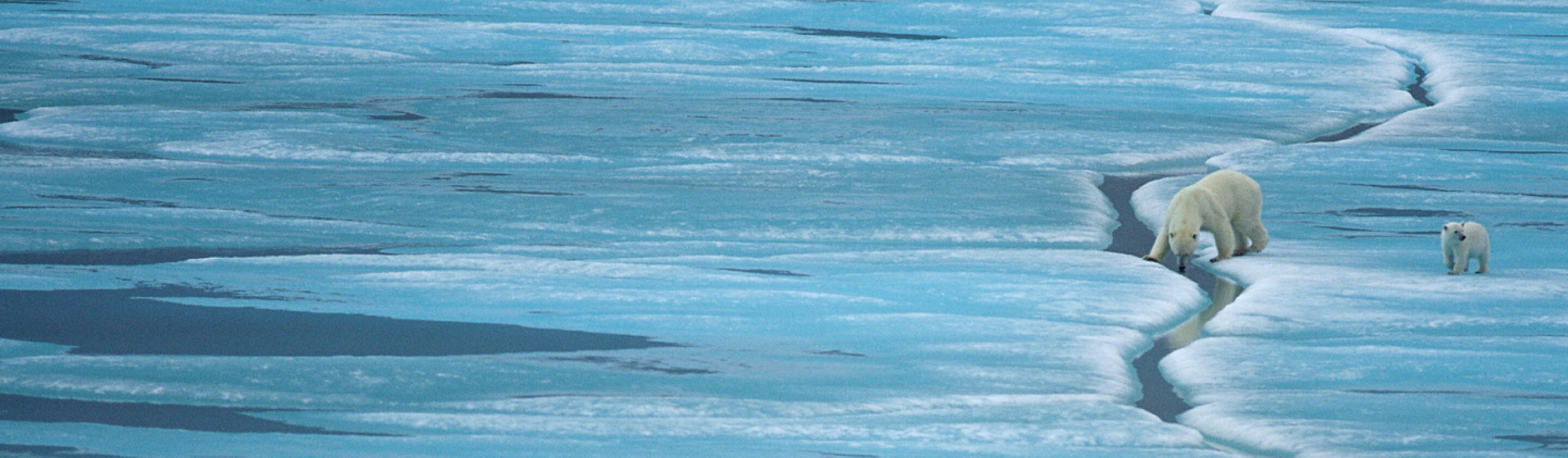
Sun and sea ice in the high arctic
The sun has returned to the high Arctic and the spring equinox approaches. Air temperatures will remain well below 0°C for the next few months but we are nearing the maximum Arctic sea ice thickness and extent. Blowing snow races over the sea ice surface, belying the activity occurring underneath in the stable warmth of the ocean water. Algae are growing, powered by the light that penetrates through the ice. Zooplankton, polar cod and ringed seals must be anticipating the coming Arctic bloom.

Sun, sea ice and blowing snow, Jones Sound. Photo credit: Vicki Sahanatien
Right now the sea ice is 1.3-1.4 metres thick in northern Jones Sound near the community of Grise Fiord, Ellesmere Island. While in Grise Fiord last week, I took the opportunity to accompany Eric and France Brossier while they collected sea ice thickness and ocean salinity and temperature data.

France augering into the sea ice and Eric preparing equipment, Jones Sound. Photo credit: Vicki Sahanatien

Eric about to lower the CTD through the augered hole into the ocean. He will feed out 325 metres of line before ocean bottom is reached. Photo credit: Vicki Sahanatien
Eric and France are working for two research scientists collecting data to monitoring the annual cycle of sea ice growth and decay. Christian Haas, Canada Research Chair in Arctic Sea Ice Geophysics at York University and Humfrey Melling, physical oceanographer at the Department of Fisheries and Oceans. This is the second year Eric and France have been involved in this monitoring. In 2012, Eric, France and their 2 daughters over wintered 50 km away in South Cape Fiord. This year they are based out of Grise Fiord so the eldest daughter can attend primary school.

The monitoring train, Jones Sound. Photo credit: Vicki Sahanatien
This year sea ice monitoring began in December 2012 and will continue until break-up, sometime in July 2013. Their work has 3 components: measuring ice thickness using an electromagnetic (EM) icemetre, drilling holes periodically to take physical measurements of ice thickness and snow depth, and lowering the instrument for measuring conductivity, temperature and depth (CTD) through the drilled hole to measure ocean water temperature and salinity from the ice to the ocean bottom. The EM is mounted on a qamutiik (an Inuit sled that is pulled by dogs or a snowmobile) and pulled behind a 2nd qamutiik that carries equipment and safety supplies, which in turn is pulled by a snowmobile. Eric uses a Canadian classic trapping-hunting snowmobile: the Bravo. Bravos are no longer manufactured, much to the unhappiness of northerners. The EM measures ice and snow depth by sending out pulses of energy and recording the time for the pulses to pass through each substrate and into the water. The information collected by Eric and France contributes to better understanding of regional and temporal variability of sea ice, provides validation data to calibrate sea ice thickness satellite remote sensing, and reveals the affects of ocean currents and stratification on sea ice thickness.
Sea ice is an essential part of the Arctic marine ecosystem and in the lives and culture of arctic people. Sea ice is also a sensitive indicator of climate change. Monitoring sea ice at the scale of communities, the Arctic Archipelago and the entire earth is vital.
It was hard to leave Grise Fiord on such a lovely spring day: blue sky, -20C and no wind – a perfect arctic day. Heading home, back south, over 1,500 kilometres to Iqaluit!

Grise Fiord, Ellesmere Island, NU. 15 March 2013. Photo credit: Vicki Sahanatien.