See Canada’s oceans as they’ve never been seen before
You’ve admired photos and videos of awe-inspiring orcas diving off the coast of British Columbia. But have you seen how the critical habitat of this endangered species is affected by shipping and proposed industrial developments? With WWF-Canada’s interactive, customizable oceans map, you can explore these points of intersection in a whole new way.
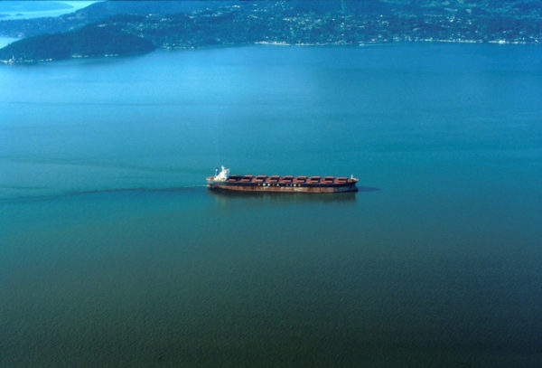
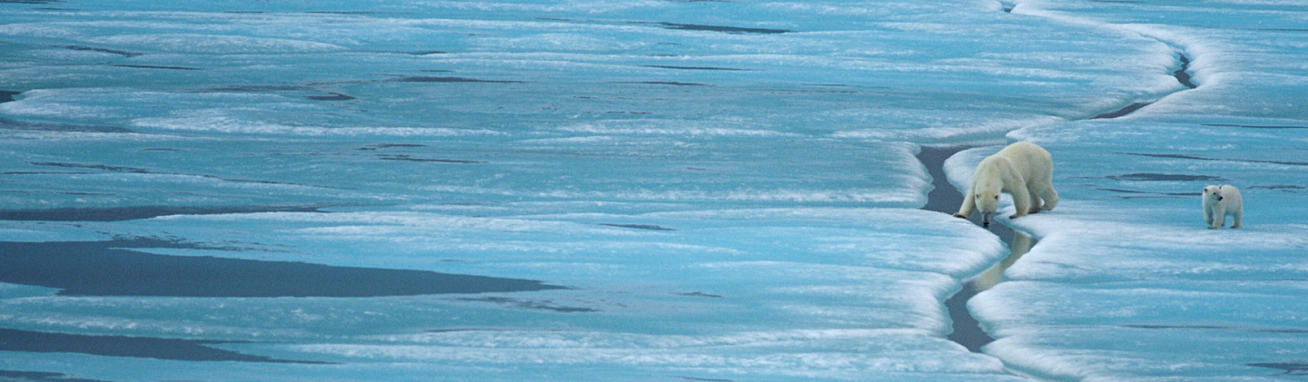
The population of resident Salish Sea orcas (also known as killer whales) is estimated at less than 80 adults. They’re threatened by habitat loss, a reduction of their preferred food source (Chinook salmon), disturbance and underwater noise pollution. Their critical habitat, in which they feed and rear their young, includes the Strait of Georgia in the Salish Sea – one of North America’s busiest shipping areas and the noisiest part of the B.C. coast. And although these already endangered orcas rely on sound for communication, feeding and mating, shipping and industrial development are both expected to grow in this region, further increasing the noise level to which orcas will be exposed.
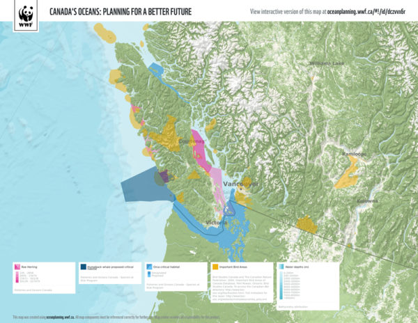
We can do a better job of managing the activities that are carried out in these spaces, using ocean planning (also called marine spatial planning) and area-based solutions to manage the volume of shipping and underwater noise. By exploring regions, species, challenges and solutions, and by bringing together information that’s never been compiled in one place before, Canada’s Oceans Map shows us how human uses overlap with areas that marine life depend upon.
For the first time, for example, information about fisheries on all three oceans is available in one place. Also for the first time, information about shipping routes from disparate sources is together in one place. And it can all be layered with data on ecologically and biologically important areas, protected areas such as national parks and proposed marine national wildlife areas, traditional knowledge areas and so much more.
Maybe you’re concerned about a proposed development on the Pacific, Arctic or Atlantic ocean. Or maybe you’re planning an ocean vacation and are curious about the marine life at your destination and potential conflicts with human use. Canada’s Oceans: Planning for a Better Future offers a wealth of information, stories and graphics highlighting Canada’s unique ocean spaces, such as the Bay of Fundy, the North Coast of B.C. and the Northwest Passage. We invite you to visit, learn, explore, create and share a map of a place that is meaningful to you.
Our oceans sustain wildlife, communities and economies. We need to support healthy ecosystems to ensure marine resources continue to exist in the future. At a time when the federal government has pledged to protect 5 per cent of Canada’s oceans by 2017 and 10 per cent by 2020, marine spatial planning is more important than ever. As the pace of demands on our oceans accelerates, those demands take an increasing toll on ecosystems. Canada’s Oceans Map deepens the understanding of our marine resources and how they are used, and confirms that we urgently need smart ocean management plans that protect important ocean ecosystems and keep them healthy.